
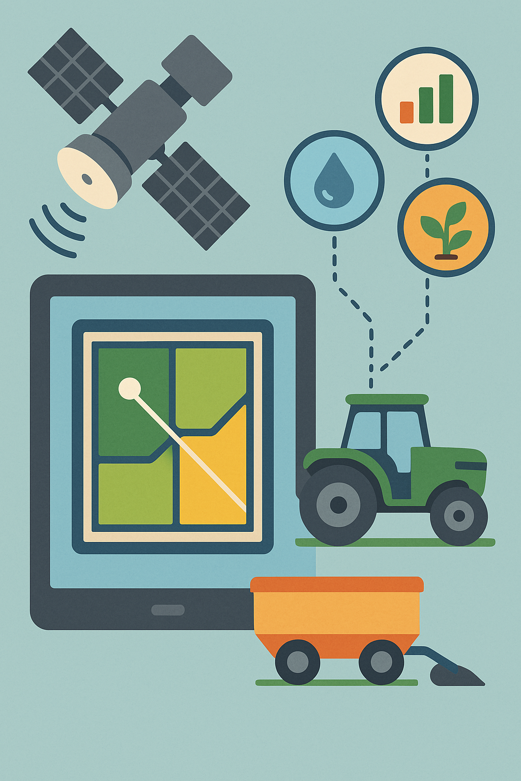
Soil, Crops and Terrain maps – All in One Platform
Harness the power of satellite imagery to maximize yields, reduce costs, and build sustainable farming practices.
Use our algorithmically obtained data to monitor your field and crops efficiently.
🟫 Soil Maps
By focusing on the dynamic patterns of both soil and tissues, we map not only constant variations but also the factors which determine said fluctuations.
Our maps for soil include:
✅NO3 -> Nitrate
✅PO4 -> Phosphate
✅Ca -> Calcium
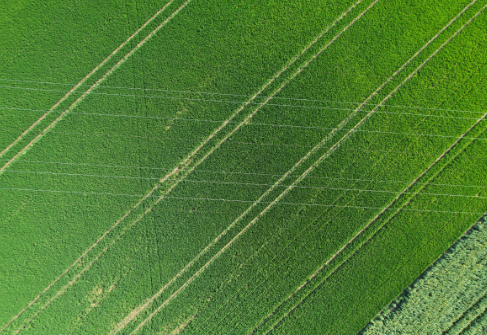
🌿 Crop Maps
Our crop maps use satellite imagery to monitor plant health, biomass growth, and nutrient status in real time.
You can easily detect stress, guide interventions, and optimize yields.
We provide insights on key nutrients like B, Ca, Cu, Fe, K, Mg, Mn, N, P, S, Zn and biomass distribution—helping you make informed, precise decisions for every stage of the crop cycle.
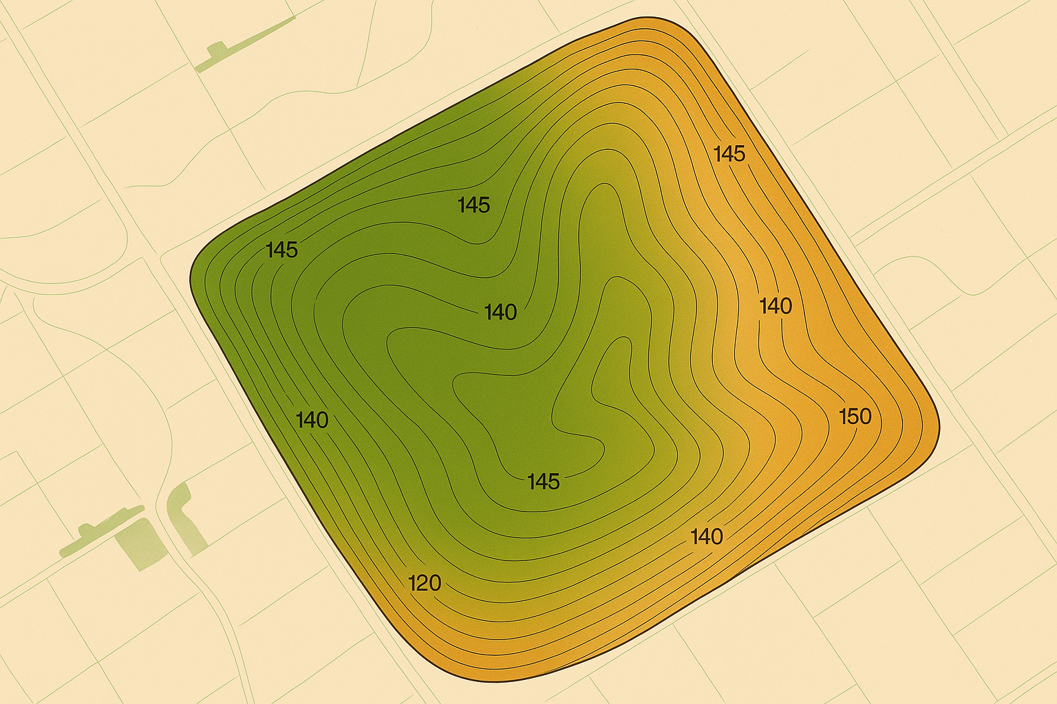
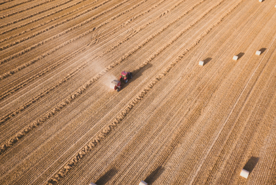
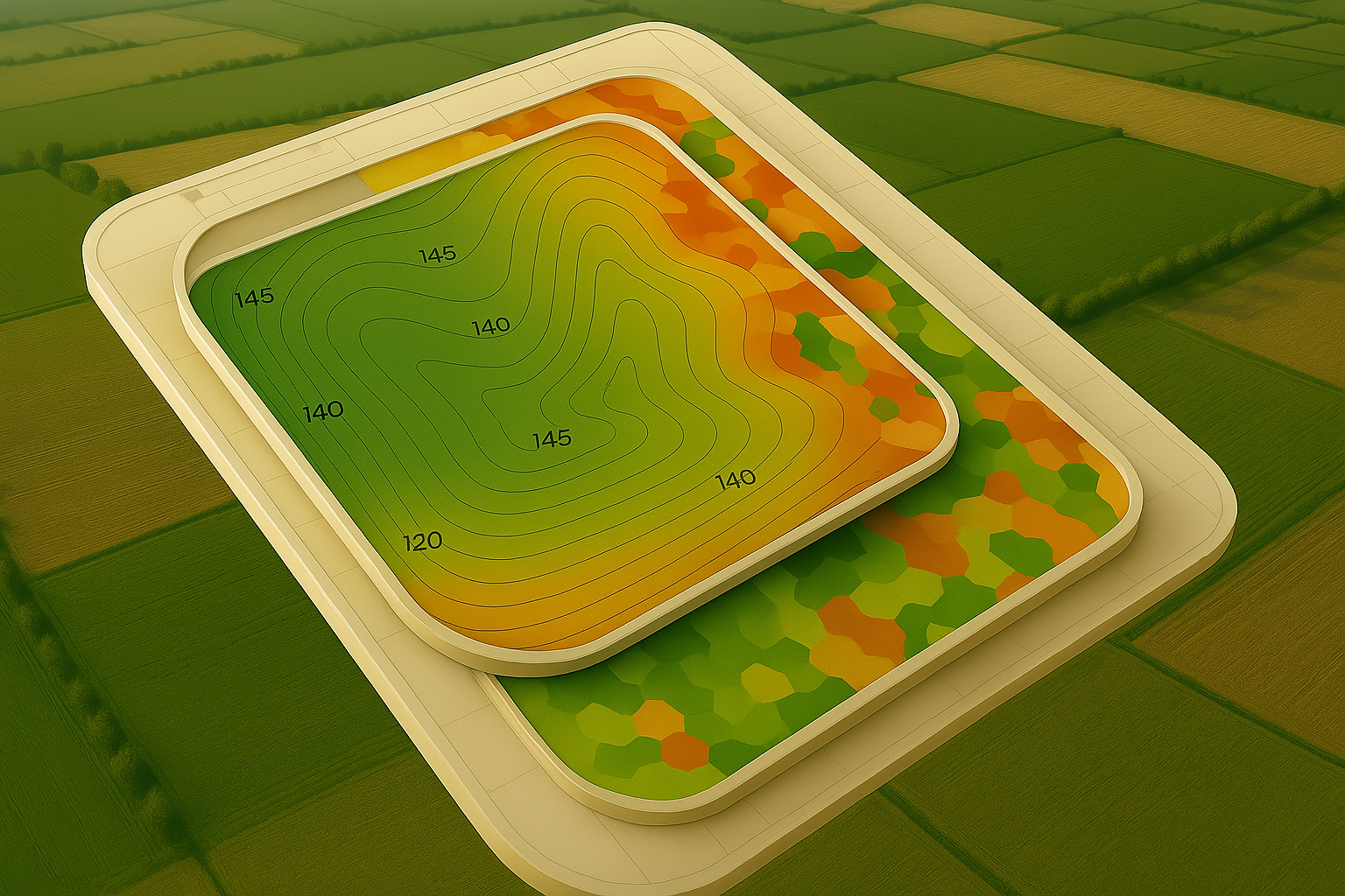
⛰️ Terrain Maps
Our terrain maps use DEM models and 3D visualization to analyze elevation, slope, and drainage. Combined with our soil and crop maps, they provide a complete view of your land to support smarter, more precise decisions.
Complete Precision Agriculture Solutions
Our digital platform provides your technical staff with diagnosis accounting for the chemical patterns of soil and crops, packed with actionable insights for modern farming.
Our goal is to provide fast, holistic and transparent reports which accurately account for chemical patterns, relying on laboratory support.
Which type of diagnosis can you make with satellite images?
By combining satellite-based diagnostics across vegetation, soil, and terrain, you get:
🧭Early detection of stress or anomalies
🎯Guidance for precise nutrient and water management
💡Terrain-aware soil and crop optimization
💧Knowledge about the variations in humidity levels in your soil
Which kind of information could you obtain from these images?
How handy is this information for you?
From satellite monitoring our comprehensive platform provides everything you need for modern, data-driven farming.
Multi-Spectral Imaging
Advanced satellite imagery analysis for precise crop health assessment.
Performance Insights
Comprehensive reporting and analytics to track farm performance over time.
Field Mapping
Detailed field boundaries, soil analysis, and variable rate application mapping.
Our Amazing Customers:


We bring technical and precise data into your farming approach.
Helping our customer’s engineer staff make the most appropriate decisions to adjust their strategies